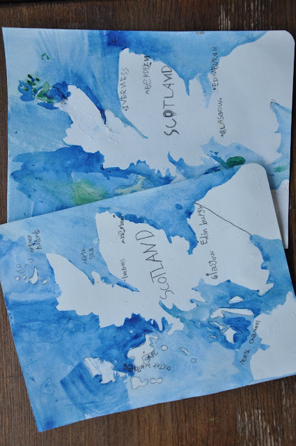
Map Monday: Watercolour Cartography
Over the past year, we discovered Watercolour World Maps; relief-style painting with a hint of geography.
The map of Scotland was particularly tricky due to the number of islands belonging to the country.
A slight bit of England and Ireland is showing is each corner, to indicate Scotlands locale in the larger picture.
By taking a look at the Food Atlas and Animal Atlases, we could see that Scotland is grouped with Northern Ireland, England and Wales, otherwise known as the British Isles or the United Kingdom (UK).
We could also compare their food culture and animal species to our own.


