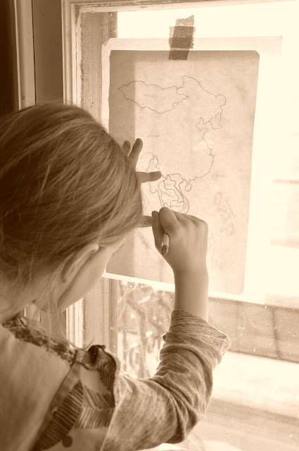
Watercolour Map of Asia
When map making, we often use watercolour for the amazing visual effect of water stains.
First we trace the land masses, before wetting the water area with clear coverage.
Once it's wet, you can add blues, greens and purples that will essentially bleed solely into the areas you covered. The kids love how the colour stops where the water edge ends.
Once your paper is dry, you can do the same with land masses.
Making a map of Asia was no easy task.
First of all, Asia being as big as it is, consists of countries that do not participate in Lunar New Year.
So we focused on East and Southeast Asian countries: Mainland China, Taiwan, Hong Kong, Japan, North and South Korea, Mongolia and Macau (East Asia)
Myanmar (Burma), Thailand, Cambodia, Vietnam, Laos, Malaysia, Philippines and Indonesia (Southeast Asia).
Finding a map that highlighted these areas in a large space allowed us to borrow 'Maps' again from the library.
Ohhh! I love this book!
First of all, it's huge!
Second, the continent maps are a clear outline without all the little print that makes it hard to focus.
Third, the country maps are loaded with clever little drawings to highlight special features about an area: food, clothing, history, wildlife... Not to mention flags and facts.
You can spend hours just looking at all the detail...and we do!


