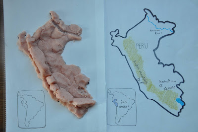
Map Monday: GEOdough of Peru
In the past, we have worked on playdough continents.
For our week of Peruvian studies centered around the novel Secret of the Andes, we focused on Peru, it's current and former capitals, the Andes mountain range, Machu Picchu and the Amazon River.
Using dough allowed us to make a topographical version of the Andes.
You can have your child trace or draw an outline of the country, or prepare one on their behalf.
If you want to re-use your map, slip it into a plastic sheet protector before setting out to sculpture.


